

Geological Tasks | Projects
Science and research List of tasks / projects in the field of science and research, which are currently solved by the State Geological Institute of Dionýz Štúr. International cooperation List of international co-operation tasks / projects currently solved by the SGIDŠ. Editorial, promotional and educational activities List of tasks / projects in the area of…
Activities
NewsGeological Tasks | Projects Science and research List of tasks / projects in the field of science and research, which are currently solved by the State Geological Institute of Dionýz Štúr. International cooperation List of international co-operation tasks / projects currently solved by the SGIDŠ. Editorial, promotional and educational activities List of tasks / projects…

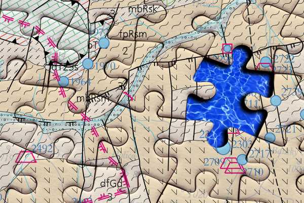
Investigation of geological seting and construction of geological maps in problematic areas of the Slovak Republic
Delimitation of problematic areas, defining causes of problems and displaying the new research results in defined problematic areas in a separate layer of a digital geological map 1: 50 000. Principal investigator: Ľ. Hraško Completion date of the task / project: 30.6.2019 Form of output: Annual Report
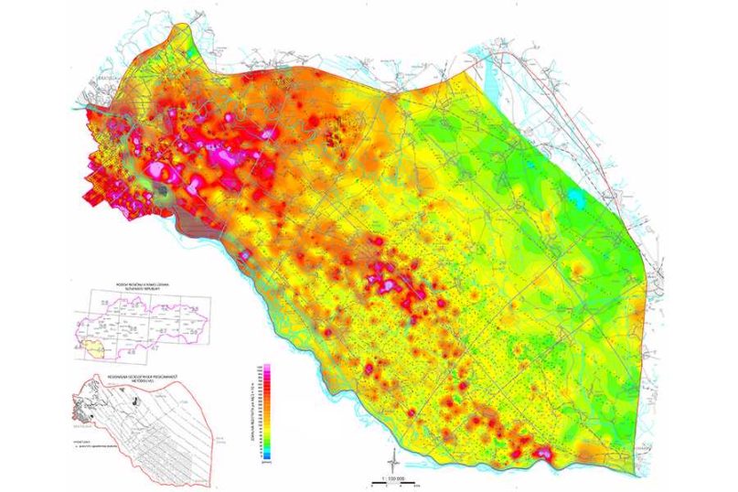
Basic hydrogeological maps at a scale of 1: 50 000
Construction of general hydrogeological and hydrogeochemical maps at a scale of 1: 50 000 according to the Directive of the Ministry of Environment of the Slovak Republic for 6 regions of the Slovak Republic (northern part of the Strážovské vrchy Mts., Važec Ridge, Košice Basin, Trnavská pahorkatina Upland, Brezovské Karpaty Mts., Nitrické vrchy Mts.). Principal…
Geological map of the Danube Lowland – the Podunajská rovina Plain 1: 50 000
Based on field geological mapping, the map sheets are compiled at a scale of 1: 25 000, as well as the map of region at a scale of 1: 50 000 with the text explanations to the map. The aim is to compile basic geological maps at a scale of 1:25 000 and the geological…