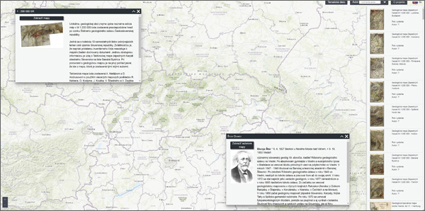
 The Old Geological Maps Portal is a web application of the State Geological Institute of Dionýz Štúr. It serves for easy access to old geological maps, focusing mainly on the territory of Slovakia, which was part of the Austro-Hungarian Empire until 1918.
The Czech Geological Survey, also in cooperation with the ŠGÚDŠ and the State Central Mining Archive in Banská Štiavnica, published a DVD Geological Maps of Europe (1780-1918) in 2004, which immediately became very popular and in demand. Its current unavailability and technological changes associated with the publication of data on the Internet have led us to gradually process all available maps and make them available on the website of the ŠGÚDŠ. Many thanks to the Austrian Geological Survey for providing digital copies of hundreds of other old geological maps from the territory of Slovakia.
The geological maps are divided into thematic groups in the application. They include descriptive information for each map and photographs of the authors with a brief biography. The application is multilingual (SK, CZ, DE, EN, HU). More detailed information can be found directly in the application (currently optimized only for the Google Chrome web browser).


