

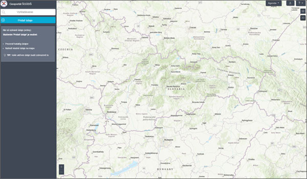
 The Geoportal is one of the main outcomes of the Geological Information System GeoIS project. It enables to access spatial data and services via the Internet. In a flawless way, you can add layers and create a custom map composition in 2D or 3D view.
Under the umbrella of the European Union and through the implementation of the INSPIRE Directive, we include a number of geological services that enable easy access to national geological information, metadata, imaging, transformation and storage services.
