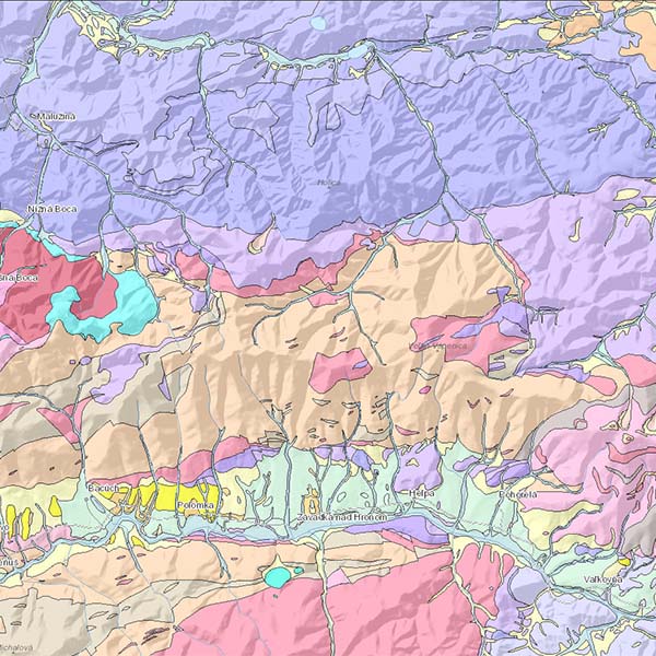
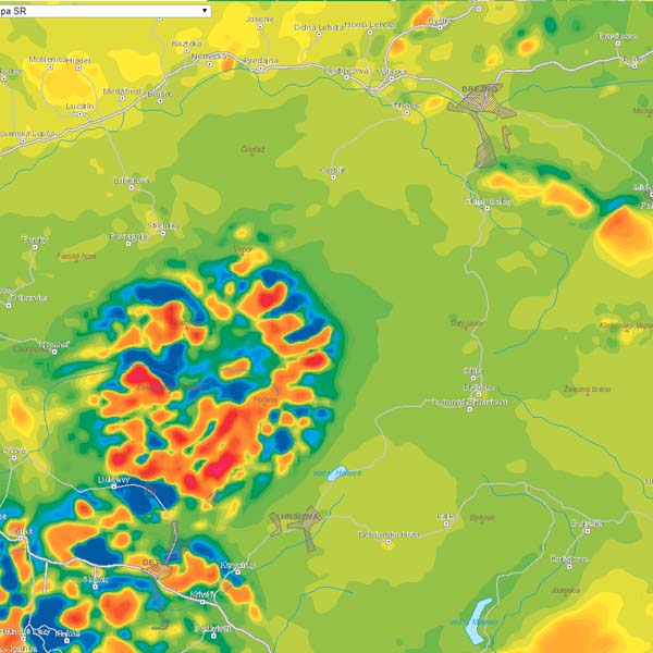
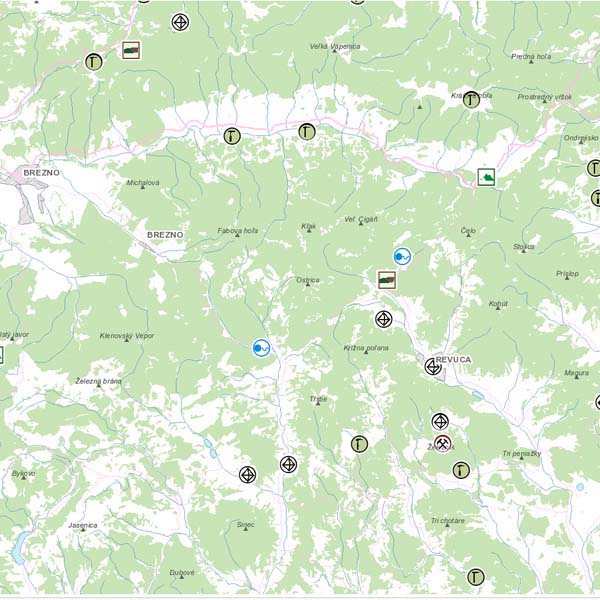
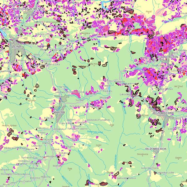
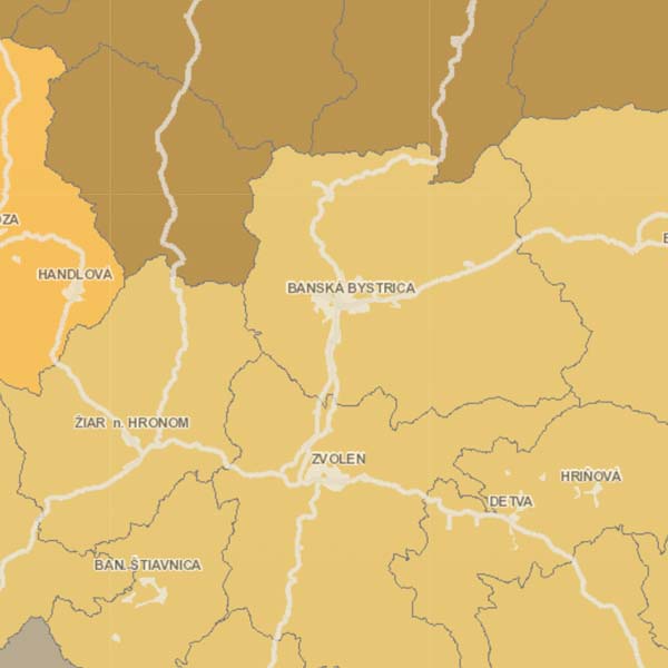
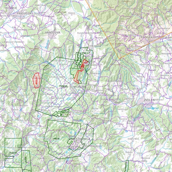
Pursuant to Act no. 3/2010 Coll. the Geoportal is an Internet portal that provides access to spatial data or spatial data services through network services.
The SGIDŠ Geoportal allows to:
- locate by geographic names
- add layers from prepared datasets
- add WMS services
- create, share and print map compositions
- visualize layers in 2D or 3D view
- select the underlying map


